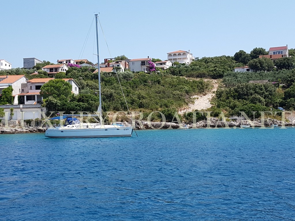
Building land for sale in Stomorska, Solta island
-
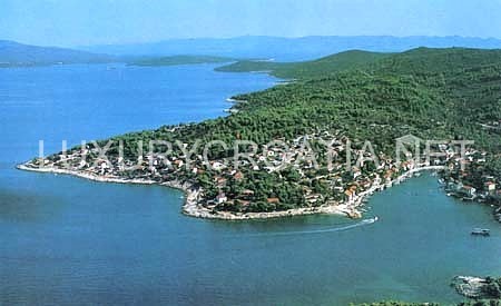 click on image to enlarge Building land for sale in Stomorska, Solta island9
-
 click on image to enlarge Building land for sale in Stomorska, Solta island8
-
 click on image to enlarge Building land for sale in Stomorska, Solta island6
-
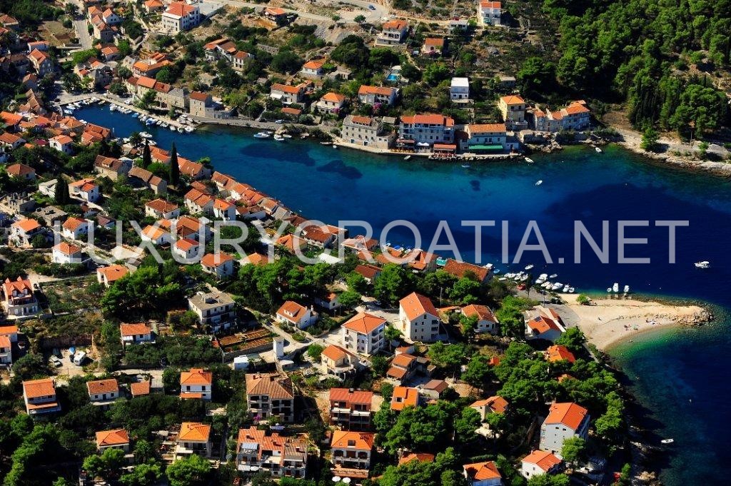 click on image to enlarge Building land for sale in Stomorska, Solta island5
-
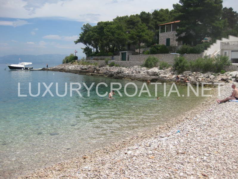 click on image to enlarge Building land for sale in Stomorska, Solta island4
-
 click on image to enlarge Building land for sale in Stomorska, Solta island3
-
 click on image to enlarge Building land for sale in Stomorska, Solta island2
-
 click on image to enlarge Building land for sale in Stomorska, Solta island1
-
 click on image to enlarge Building land for sale in Stomorska, Solta island0
Property Details:
- Categories: Land
- Styles: Residential zone
- Features: 3% Agency Commission
- Amenities: Building Zone, Sea View, Under 250m to the Sea Front
About this Property:
(L-S-P-JB)
Building land for sale in Stomorska, Solta island
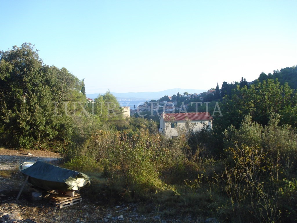
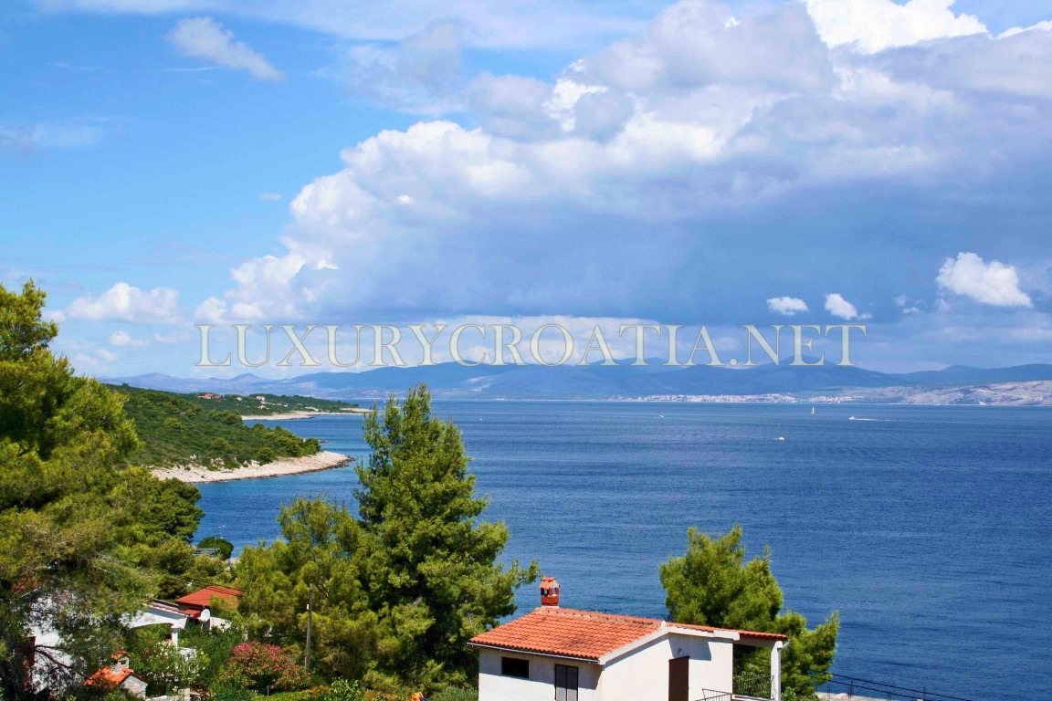
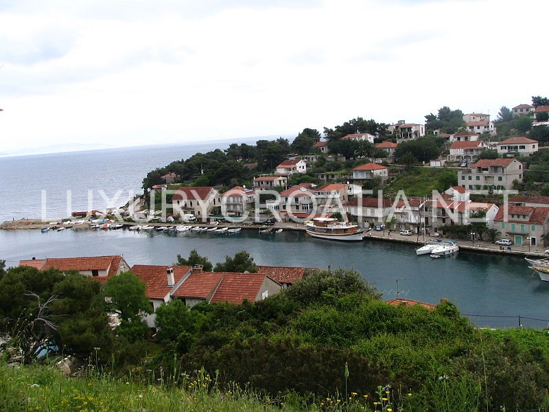
Building land is located in a residential zone in Stomorska town, 150 meters from the sea. Land has a surface area of 435 sqm and a location permit has been obtained for this landplot. A street ensures easy access to the land and on the street are connections to water and electricity grid. Preparation work for sewage are completed so the houses in the area will soon connect to the sewage grid. Land has view to the sea.
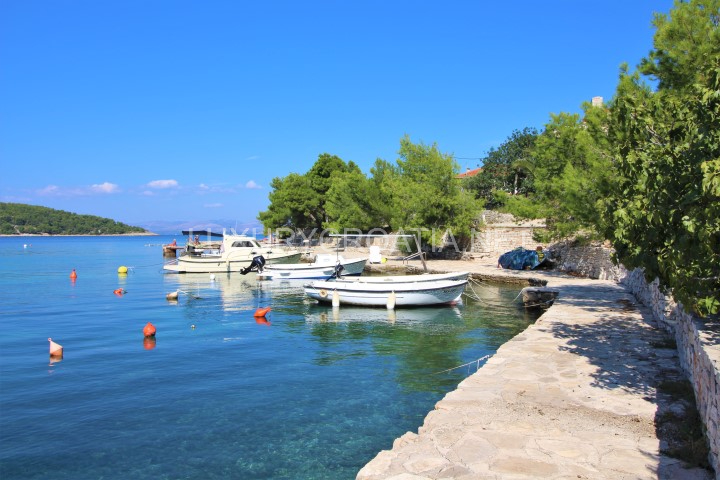
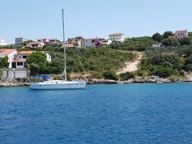
Stomorska is a village and a cadastral in Croatia, on the northern coast of Šolta island in the Split-Dalmatia County. It is connected by the D111 highway. Stomorska is the oldest town on the island on the water. The place is well connected and has a gastronomic marina.
Šolta is an island in Croatia. It is situated in the Adriatic Sea in the central Dalmatian archipelago, west of the island of Brač, south of Split (separated by Split Channel) and east of the Drvenik islands, Drvenik Mali and Drvenik Veli (separated by the Šolta Channel). Its area is 58.98 km2 and it has a population of 1,700 (as of 2011).
The highest peak of Šolta is the summit Vela Straža which is 236 metres high. On the north-eastern coast of the island there are the large bays of Rogač and Nečujam. In the western part of the interior of Šolta there is a field approximately 6 km (4 mi) long and 2 km (1 mi) wide.
The economy of the island is based on vineyards, olives, fruit, fishing and tourism. While the main settlements (Grohote, Gornje Selo, Srednje Selo, Donje Selo) are inland, the main fishing centres are Maslinica, which is exposed to only north-westerly winds, making it a good shelter for smaller boats. Rogač is the main port and Nečujam the centre of the island’s tourism.

